Day 16 - Saturday, April 20 - The Split Rock
This day is definitely one of the highlights of our 'expedition'.
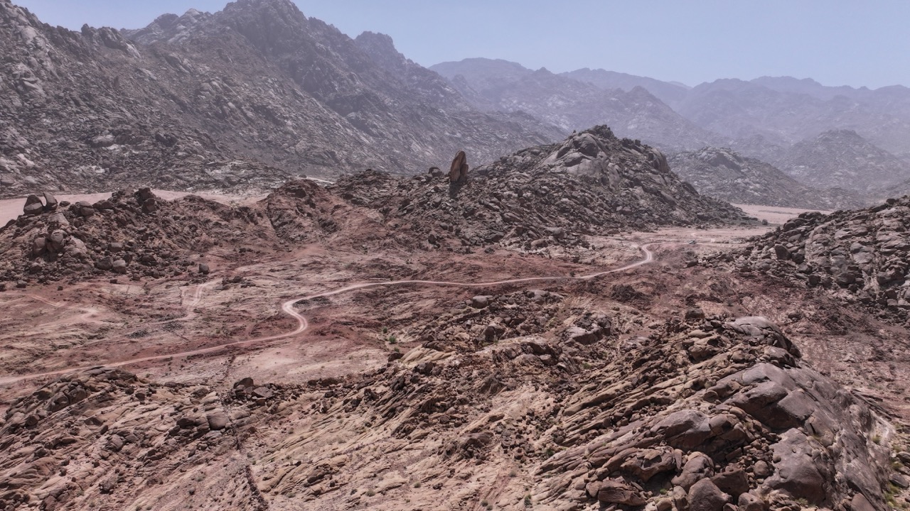
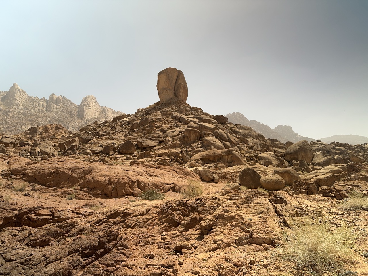
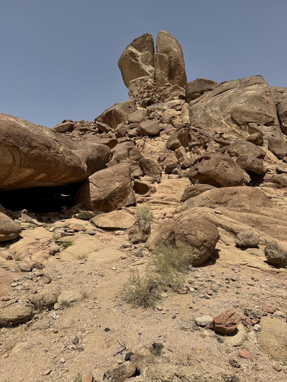
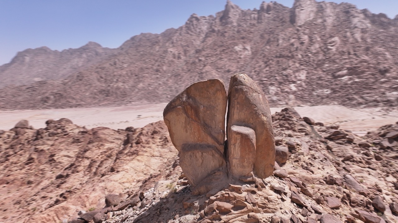
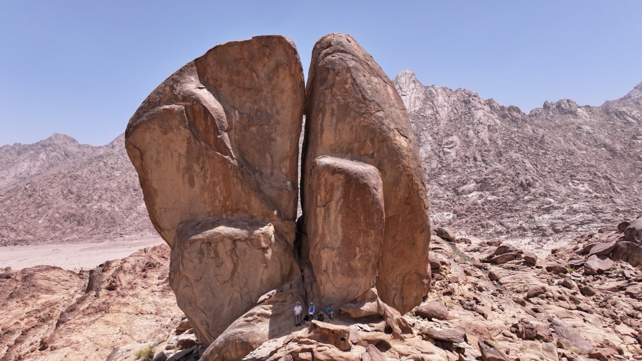
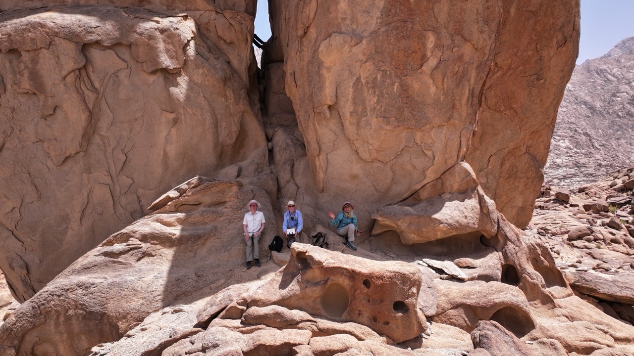
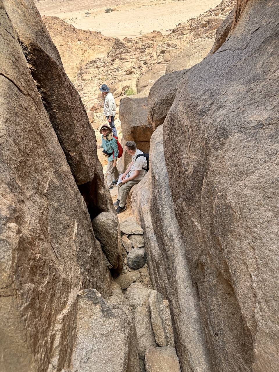
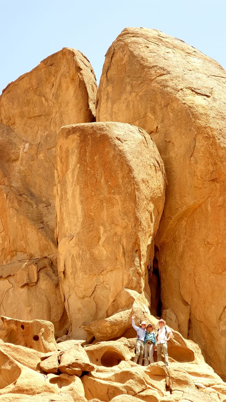
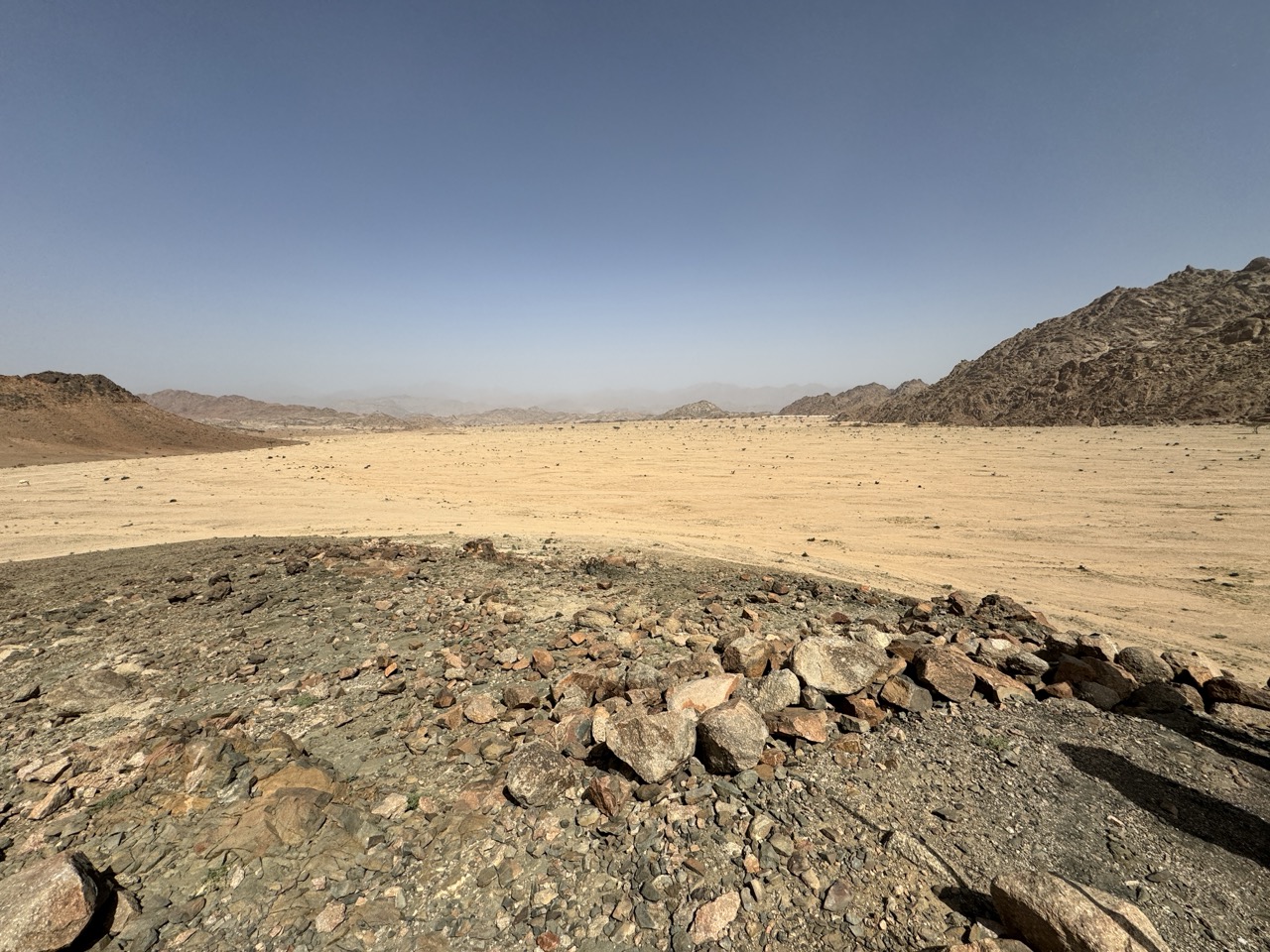
Watching the videos, one notices that a rock protruding slightly upward in the landscape is not just another rock like so many, but is split, and quite large. With obvious traces of water that has flowed from the base of this rock, as the rocks are smoother than those around it.
You can also see from the deposits around it that there was once a small 'inner lake'.
This corresponds very well with the first time Moses, commissioned by YHVH, had to strike a rock so that water would come out of it, according to Exodus 17:6. By the way, in the Exodus account there is no mention of the Rock being Split, that is found in Psalm 78:15 and 105:41.
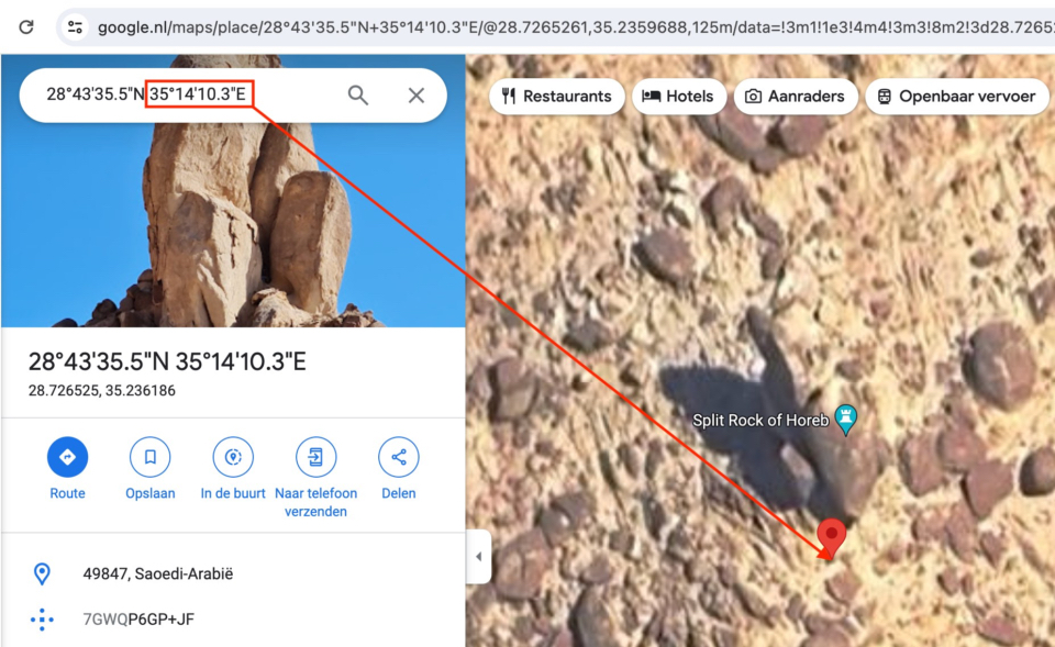
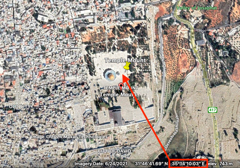
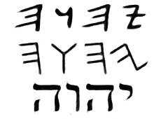
A small but impressive coincidence? GPS Coordinates on the globe have a latitude, meaning a horizontal line from West to East, and a longitude, meaning a vertical line from North to South. According to my GPS, the longitude at the Split Rock was 35 degrees 14'10.03" East, and if I now go up in a straight vertical line I end up exactly at the temple grounds in Jerusalem, and even about exactly at the spot of the former sanctuary, i.e. where the curtain 'split' in two from top to bottom. Is this a coincidence, or does it have a deeper meaning? Can I make sense of this? No. But it is remarkable.
Also, the mountain itself that we climbed is at the same latitude as the Temple Mount in Jerusalem, although not exactly to the smallest degree. When Paul speaks of "The Jerusalem that is above" in Galatians 4:26, he clearly meant it in a spiritual sense, as something that exists "above," in heaven. But whether as a "double bottom" or pun so intended or not, it is literally true that the earthly city of Jerusalem with the Temple Mount is "above," at pretty much the same latitude as the split rock (very exact) and the mountain in Midian that we climbed (approximately).
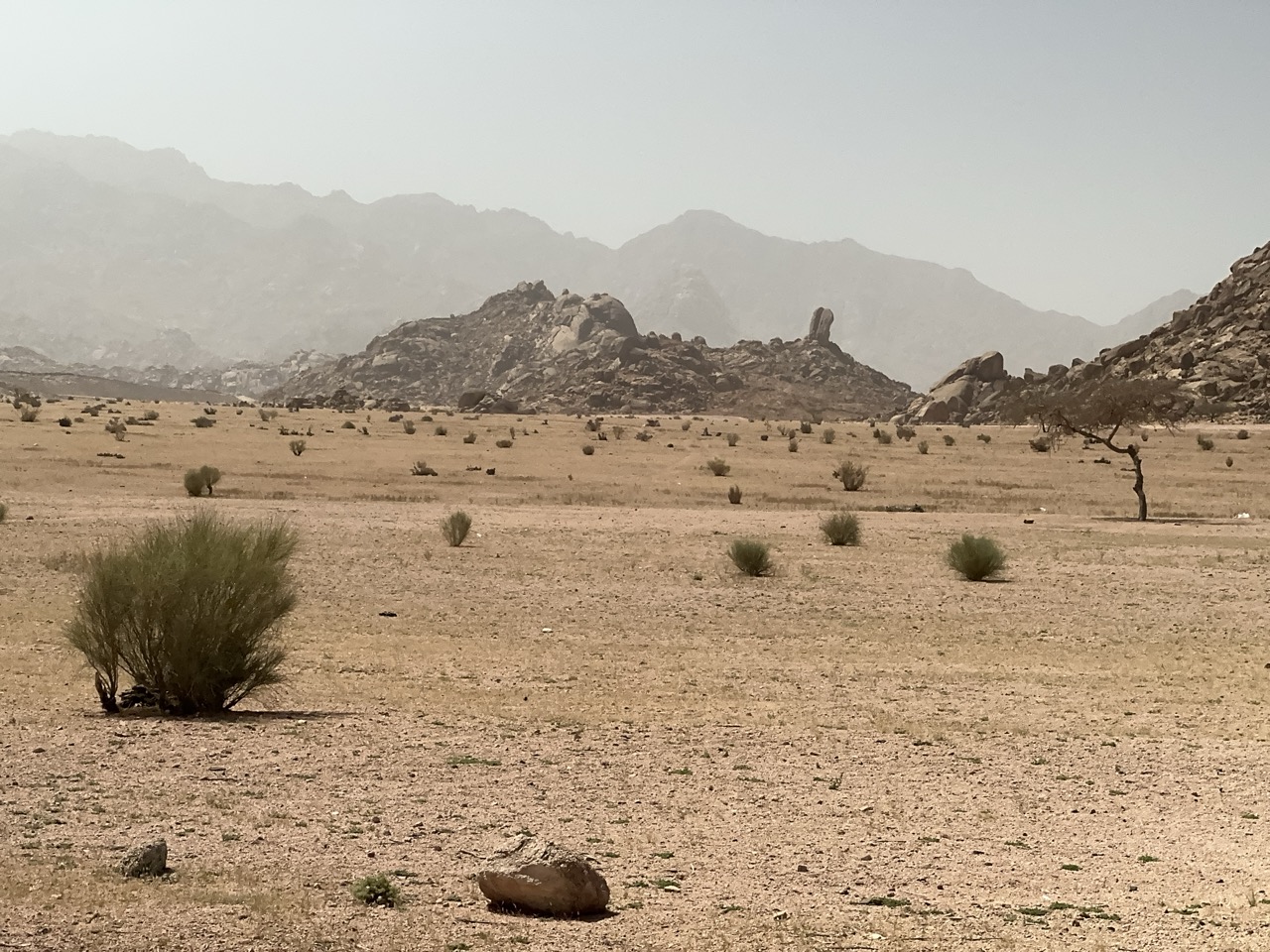
Before we got there we passed through a large plain with a hill that may have been the spot from which Moses watched the battle with the attacking Amalekites. Nearby you will find two large walled areas that apparently were cemeteries, and one has features from Midianite times, which is the time of Moses and Joshua.
There are several options for and differences of opinion about the route from the crossing of the Red Sea into Arabia to the oasis and the split rock and also to the mountain with evidence that Moses received the ten commandments there. That is not strange, the main points are clear and the details after 3,500 years are obviously not.
Videos:
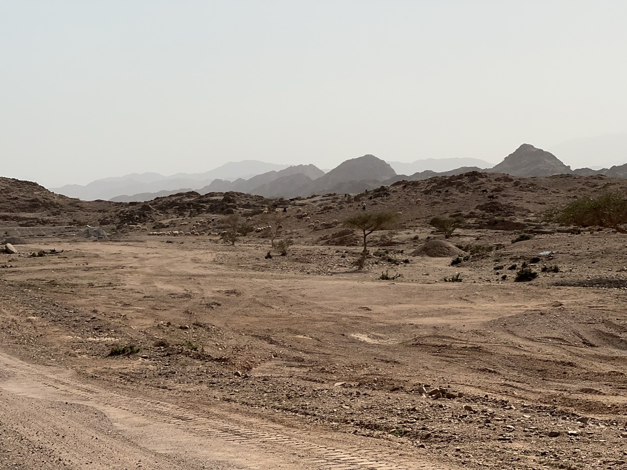
(1) Through the wilderness towards the split rock, (2) the split rock, (3) possible hill overlooking the terrain of the battle with the Amalekites, (4) camels and sheep and goats in the wilderness.
Photos:
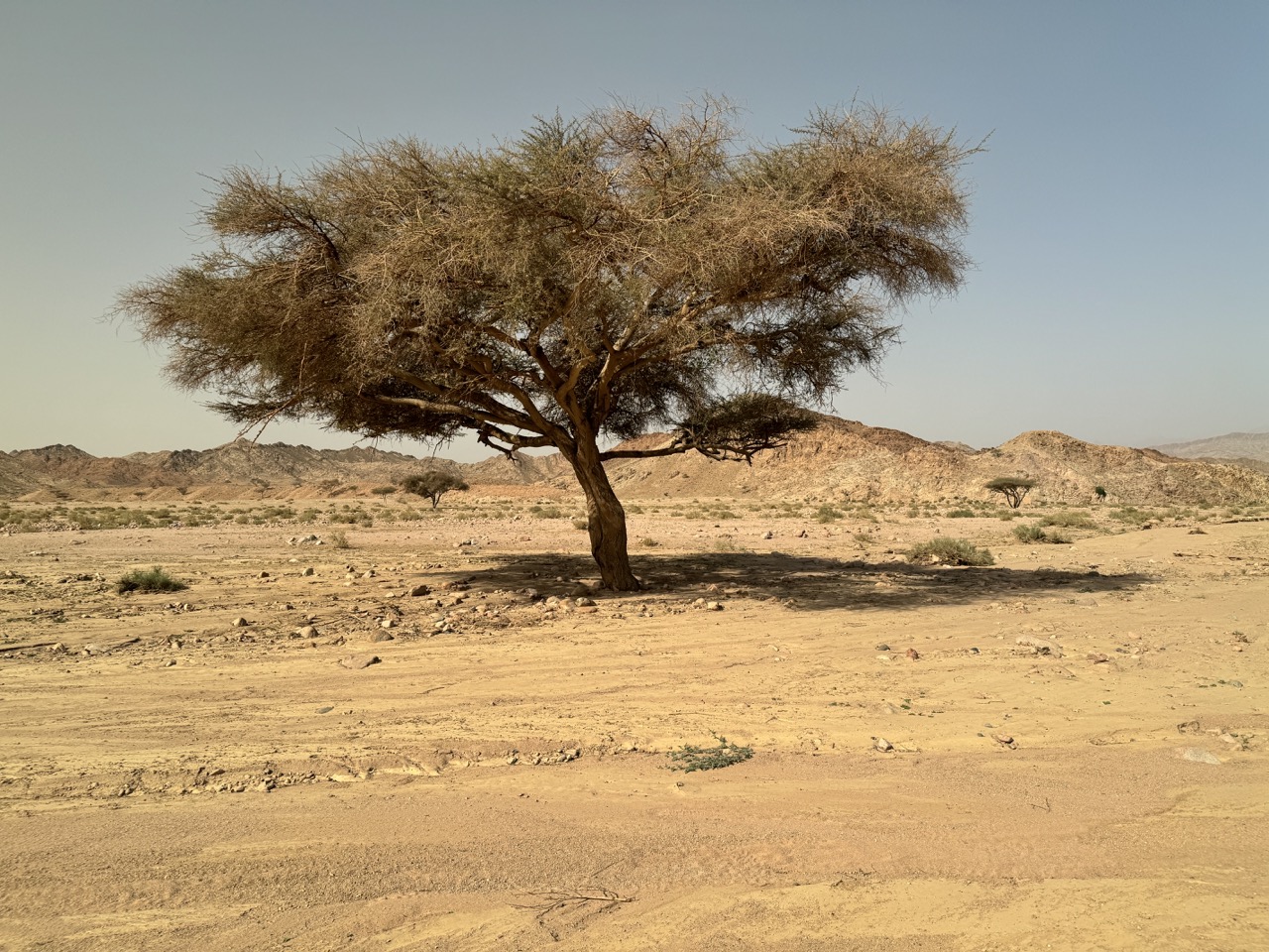
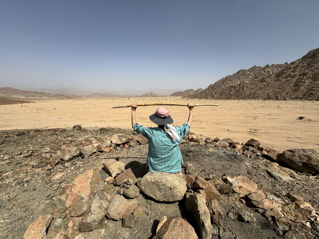
(1) Acacia tree, this is the most common, but you also have almond trees, (2-6) the split rock from a distance, not looking too big, (7-8) Look how big in comparison to us, (9) Us at the back of the split rock, (10) at the front, you can see the stones are smooth and look like water flowed over it, (11-12) the coordinates in the red rectangle, of the split rock and the precise spot of the former temple, are exactly the same, (13-14) possibly the hill where Moses watched the battle with the Amalekites, (15) sheep and goats.